

Pre-covid, I stumbled upon an old unmarked ‘coffin road’, between Lochs Morar and Nevis. The stone slabs and cobbles appeared out of the mist and provided a welcome respite from the squelching steps that had themed the day. That night I’d sat in the lodge wondering how many more of these old paths were crossing the hills between long-cleared communities. The idea to search for and link them up began to form and, after much scheming, the plan was hatched: a route up the West Coast of Scotland, from Fort William (or close) to Cape Wrath, journeying over both land and water. A sort of semi-aquatic Cape Wrath Trail – the Pack Wrath Trail, an original UK journey that demonstrates the potential of our inflatable craft.
We opted for a south to north trip, with the prevailing wind. And, after checking tide times, arranging food resupply points and posting food parcels, we were ready to go on April 1st. Given the time of year we pencilled in 14–18 days for the approx. 330km journey, thus allowing for shorter day lengths and weather snags …
As a blocking high pressure system bathes the UK late March, we’re hopeful… So, on April Fool’s Day, as Rich, Millie (my 4-year-old Collie) and I stand on the side of the A830 watching snowflakes fall; the irony is palpable.
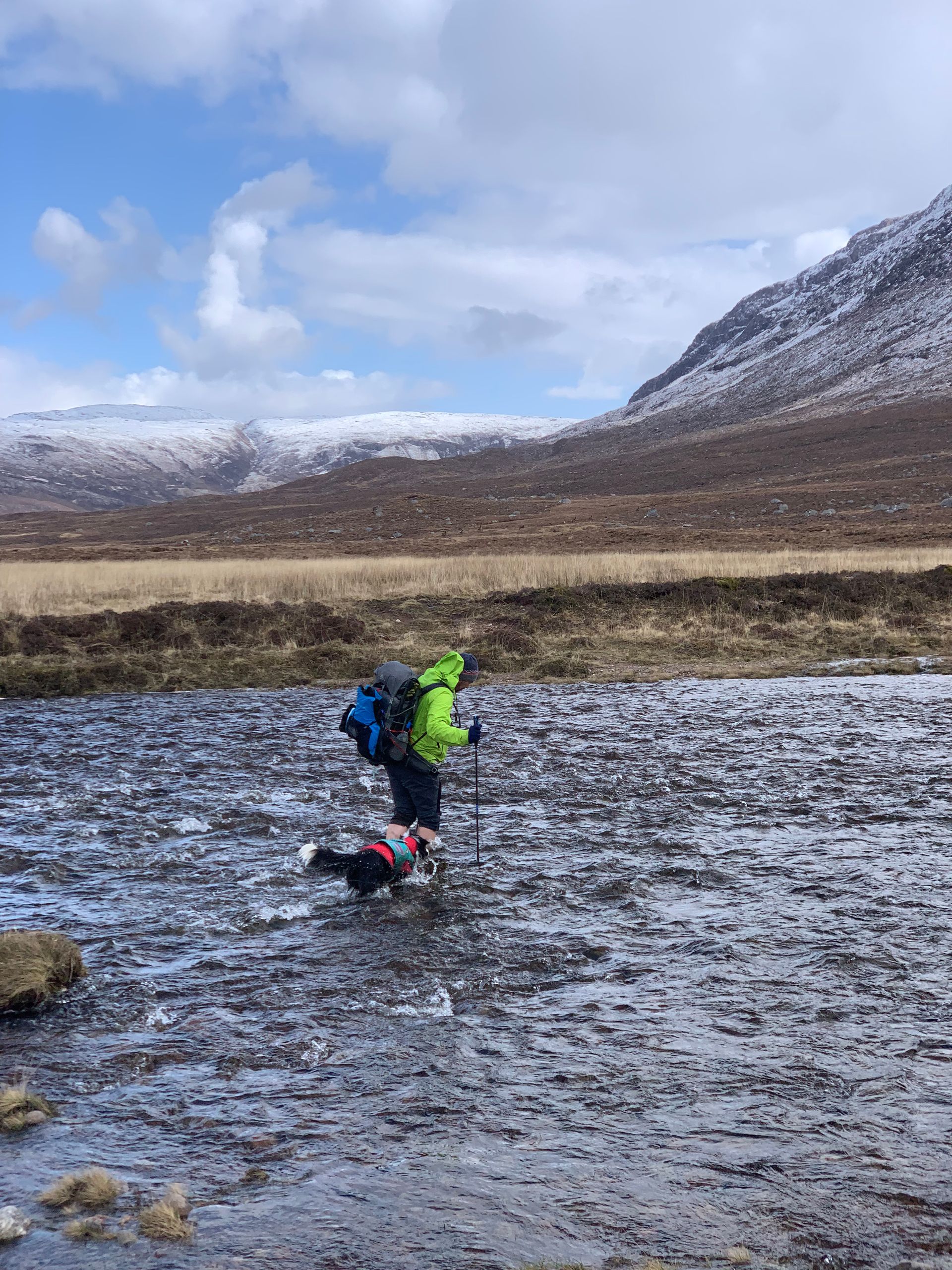
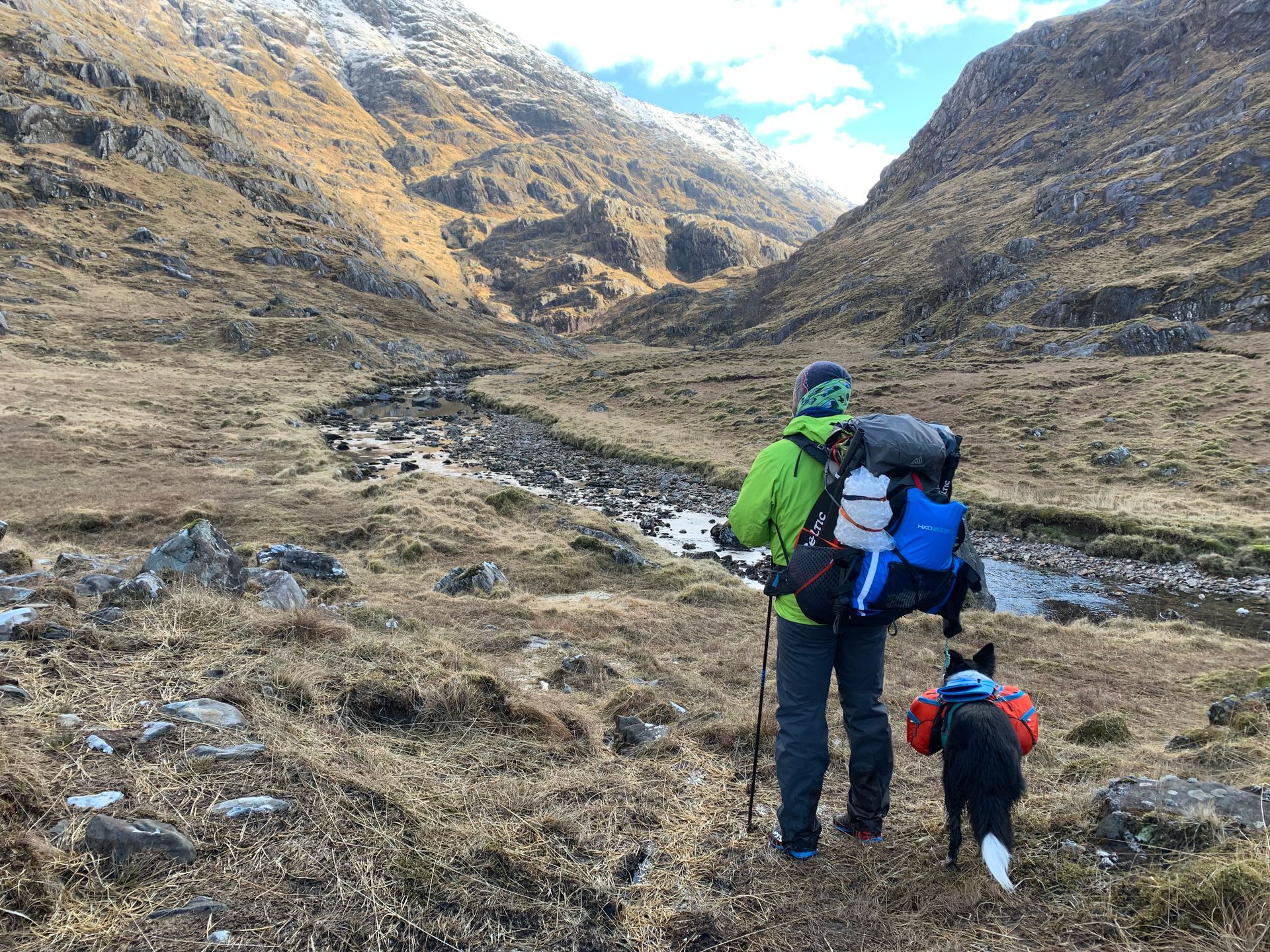
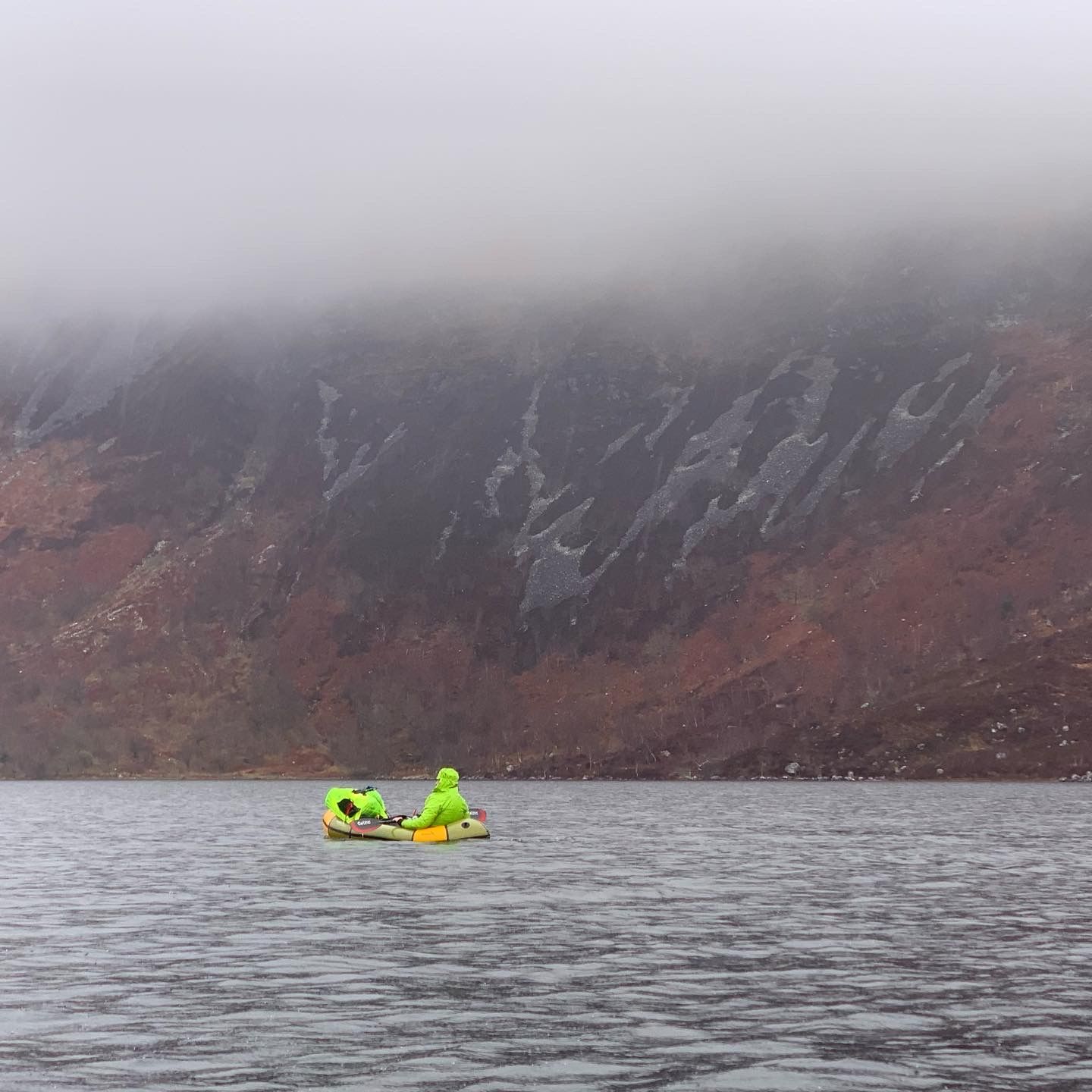
Undeterred we stride north from Arkaig over the hills to Meoble and Loch Morar. On the shore, our initial transition from land to water is slow and relaxed. The sun is out and, without a breath of wind, we’re soon across and at Tarbert. The short walk over to Loch Nevis negates deflating our boats, so we fix them to our packs and trudge, turtle-like, over the trail. By mid-afternoon we are on the water again, the wind now lifting from the west, we’re pushed along through the narrows as porpoise play in the neck. Soon the weather turns, rain is falling, half-sleet, wind cold and biting. We exit the loch and stride along the glen; camp found, we retire, cold, burying into our bags.
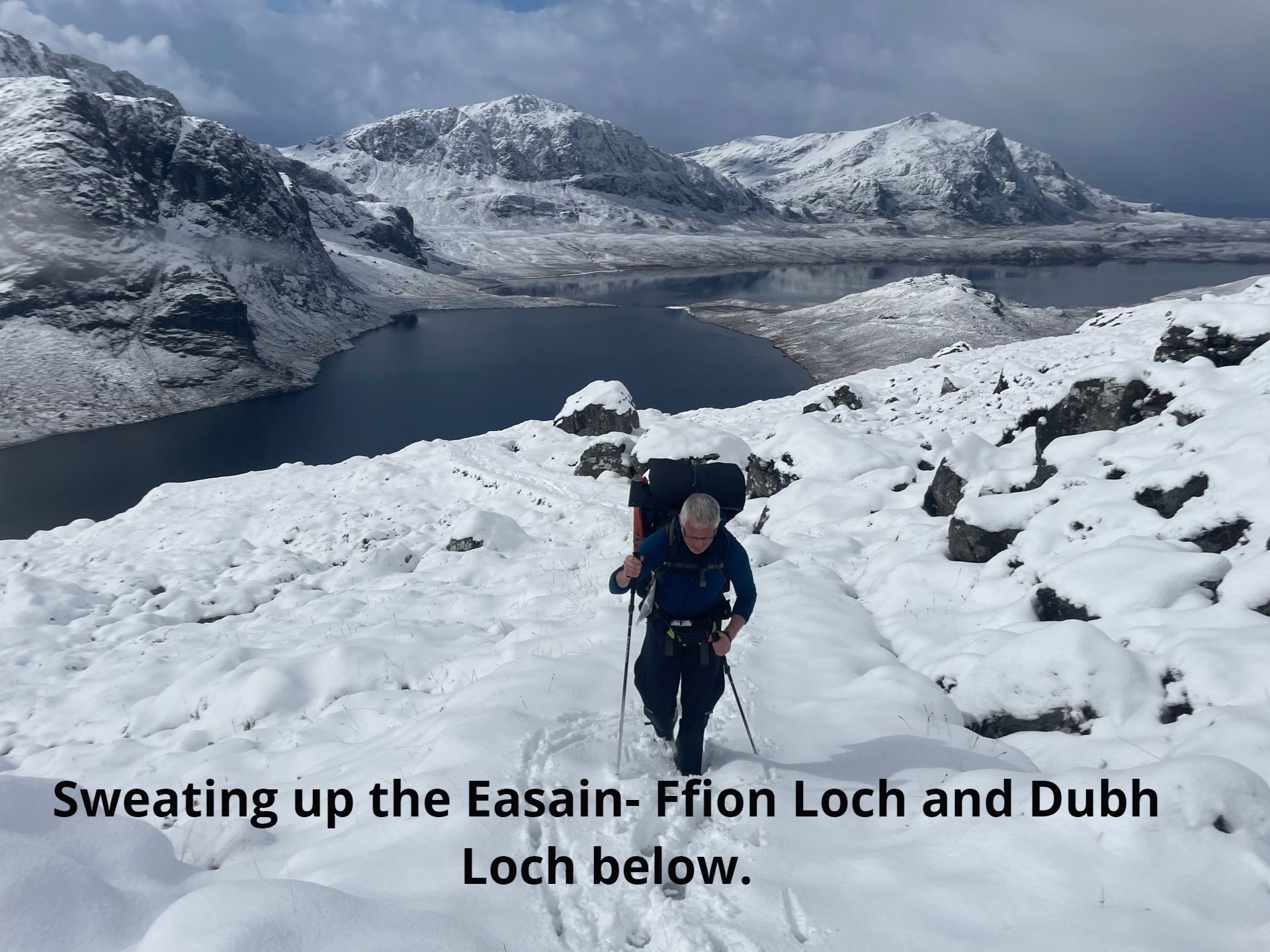
After a night well below zero, we’re blessed with calm conditions across Knoydart; cold shadows, broken by blazing sunshine. Walking well-trod paths and cobbles up Glen Carnach till, just past a ruined croft, the mapped trail runs out. Scanning upwards for the track that traverses across Coire an Lochain to Mam Unndalain. “Surely, the crofters would cross straight over to Barrisdale rather than the long haul round west?”, jokingly, I continue to mutter, what was to become the navigational maxim of the whole trip, “If I were a crofter, where would I go?” and, shortly, squinting, our eyes begin to pick out – broken, following natural ledges where possible with occasional stone bolsters – a trail, long-lost from maps that crosses the hillside. We move north, picking landmarks by eye, rediscovering and reconnecting with landscape and land-lived.